
Tashkorgan Town topographic map
Interactive map
Click on the map to display elevation.
About this map
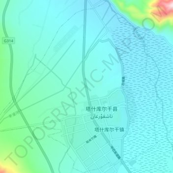
Name: Tashkorgan Town topographic map, elevation, terrain.
Average elevation: 3,109 m
Minimum elevation: 3,046 m
Maximum elevation: 3,712 m
Aurel Stein argued that, judging from the topography and remains found around Tashkurgan, the fort and associated settlements had clearly been central to the broader Sarikol area, controlling routes from the Oxus to the oases of southern Turkestan.[13]
Other topographic maps
Click on a map to view its topography, its elevation and its terrain.
Dafdar
China > Xinjiang > Taxkorgan Tajik Autonomous County
Dafdar, Taxkorgan Tajik Autonomous County, Kashgar Prefecture, Xinjiang, China
Average elevation: 4,416 m
Gasherbrum II
China > Xinjiang > Taxkorgan Tajik Autonomous County
Gasherbrum II, Taxkorgan Tajik Autonomous County, Kashgar Prefecture, Xinjiang, China
Average elevation: 7,098 m