
高圩 topographic map
Interactive map
Click on the map to display elevation.
About this map
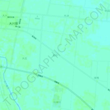
Name: 高圩 topographic map, elevation, terrain.
Location: 高圩, 宿迁市, 江苏省, 中国 (33.87128 118.49308 33.91128 118.53308)
Average elevation: 17 m
Minimum elevation: 14 m
Maximum elevation: 19 m
Other topographic maps
Click on a map to view its topography, its elevation and its terrain.