
Caher topographic map
Interactive map
Click on the map to display elevation.
About this map
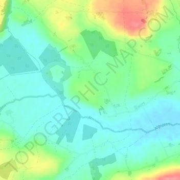
Name: Caher topographic map, elevation, terrain.
Location: Caher, Rossmore, West Cork, County Cork, Munster, Ireland (51.65709 -8.96741 51.66960 -8.94524)
Average elevation: 64 m
Minimum elevation: 40 m
Maximum elevation: 117 m
County Cork trails, hiking, mountain biking, running and outdoor activities
Other topographic maps
Click on a map to view its topography, its elevation and its terrain.