
九甲镇 topographic map
Interactive map
Click on the map to display elevation.
About this map
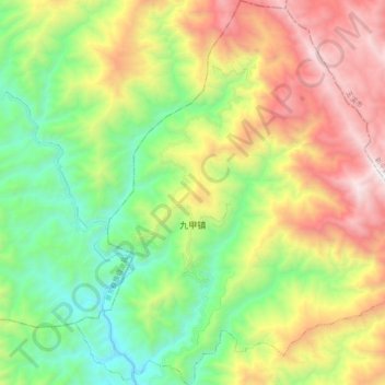
Name: 九甲镇 topographic map, elevation, terrain.
Location: 九甲镇, 镇沅彝族哈尼族拉祜族自治县, Pu’er, Yunnan, 665000, China (24.12233 101.16912 24.29927 101.34568)
Average elevation: 1,834 m
Minimum elevation: 999 m
Maximum elevation: 3,129 m