
Thank you for supporting this site ❤️
Make a donation
Make a donation
Gear up for your next adventure:
As an Amazon Associate, this site earns from qualifying purchases at no extra cost to you.
Trentini topographic map
Click on the map to display elevation.
Thank you for supporting this site ❤️
Make a donation
Make a donation
Gear up for your next adventure:
As an Amazon Associate, this site earns from qualifying purchases at no extra cost to you.
About this map
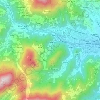
Name: Trentini topographic map, elevation, terrain.
Location: Trentini, Torrebelvicino, Vicenza, Veneto, 36036, Italia (45.69105 11.28312 45.73105 11.32312)
Average elevation: 447 m
Minimum elevation: 216 m
Maximum elevation: 942 m
Thank you for supporting this site ❤️
Make a donation
Make a donation
Gear up for your next adventure:
As an Amazon Associate, this site earns from qualifying purchases at no extra cost to you.