
Thatta topographic map
Interactive map
Click on the map to display elevation.
About this map
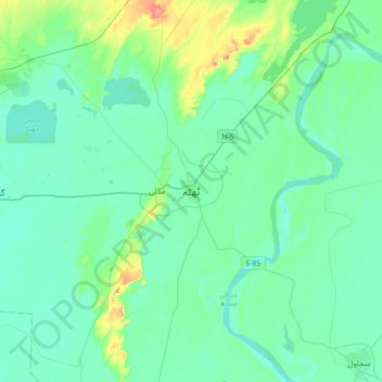
Name: Thatta topographic map, elevation, terrain.
Location: Thatta, Thatta District ٺٽو ضلعو, Sind, 73130, Pakistán (24.58690 67.76403 24.90690 68.08403)
Average elevation: 13 m
Minimum elevation: 0 m
Maximum elevation: 74 m