
Sulo topographic map
Interactive map
Click on the map to display elevation.
About this map
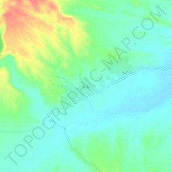
Name: Sulo topographic map, elevation, terrain.
Location: Sulo, ضلع گوادر / Kech, Baluchistán, Pakistán (26.28430 63.09196 26.32430 63.13196)
Average elevation: 516 m
Minimum elevation: 497 m
Maximum elevation: 561 m