
Penguin Island topographic map
Interactive map
Click on the map to display elevation.
About this map
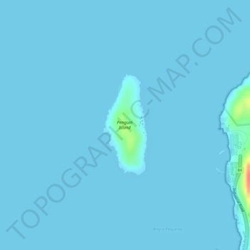
Name: Penguin Island topographic map, elevation, terrain.
Location: Penguin Island, Lüderitz, Namibia (-26.62220 15.15128 -26.61135 15.15646)
Average elevation: 2 m
Minimum elevation: 0 m
Maximum elevation: 57 m