
Chilchota topographic map
Interactive map
Click on the map to display elevation.
About this map
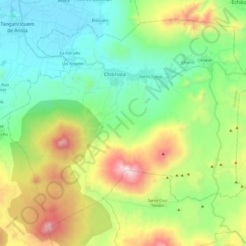
Name: Chilchota topographic map, elevation, terrain.
Location: Chilchota, Michoacán de Ocampo, México (19.71768 -102.21485 19.89314 -101.99410)
Average elevation: 2,142 m
Minimum elevation: 1,694 m
Maximum elevation: 3,121 m