
Daugava topographic map
Interactive map
Click on the map to display elevation.
About this map
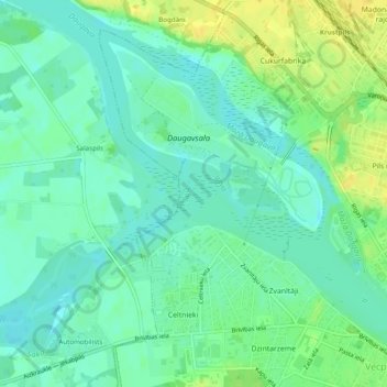
Name: Daugava topographic map, elevation, terrain.
Location: Daugava, Jēkabpils, Zemgale, LV-5304, Latvia (56.50804 25.83762 56.51146 25.84459)
Average elevation: 82 m
Minimum elevation: 73 m
Maximum elevation: 95 m
Other topographic maps
Click on a map to view its topography, its elevation and its terrain.