
Make a donation
Gear up for your next adventure:
As an Amazon Associate, this site earns from qualifying purchases at no extra cost to you.
Houston topographic map
Click on the map to display elevation.
Make a donation
Gear up for your next adventure:
As an Amazon Associate, this site earns from qualifying purchases at no extra cost to you.
Houston
The Houston Hikers' Society provides website where trail information, maps, photos and driving directions can be accessed. The Morice Mountain Nordic Ski Club is a volunteer non-profit society. The MMNSC is responsible for all developments and trail grooming as well as maintenance of the facilities, and for trail users' fee collections. The ski trails are situated 8 km (5 mi) south of Houston on Buck Flats Road. Skiing enthusiasts are able to explore over 45 km (28 mi) of challenging and beginner trails covering a rolling topography around Silverthorne Lake.
Make a donation
Gear up for your next adventure:
As an Amazon Associate, this site earns from qualifying purchases at no extra cost to you.
About this map
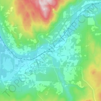
Name: Houston topographic map, elevation, terrain.
Average elevation: 728 m
Minimum elevation: 574 m
Maximum elevation: 1,235 m
Make a donation
Gear up for your next adventure:
As an Amazon Associate, this site earns from qualifying purchases at no extra cost to you.