
La Cañada topographic map
Interactive map
Click on the map to display elevation.
About this map
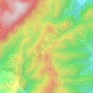
Name: La Cañada topographic map, elevation, terrain.
Location: La Cañada, Pinal de Amoles, Querétaro, Mexico (21.09633 -99.68454 21.13633 -99.64454)
Average elevation: 2,575 m
Minimum elevation: 2,111 m
Maximum elevation: 3,058 m