Geolocate

Burrup topographic map

Click on the map to display elevation.

About this map
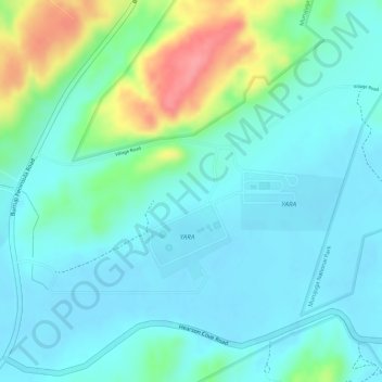
Name: Burrup topographic map, elevation, terrain.

Location: Burrup, Karratha, Western Australia, Australia (-20.63333 116.77190 -20.61333 116.79190)

Average elevation: 25 m

Minimum elevation: 2 m

Maximum elevation: 92 m

Gear up for your next adventure:

🥣Outdoor Food & Meals - Dehydrated meals for backpacking
🔦Everyday Carry Torches - Reliable backup light for your hiking pack
🔥Camping Stoves - Portable camping stoves for outdoor cooking
🗺️Topographic Maps - Detailed maps for hiking, cycling and planning routes
🌲Bushcraft Skills Books - Learn navigation, fire-making, and shelter building

As an Amazon Associate, this site earns from qualifying purchases at no extra cost to you.