
Moville topographic map
Interactive map
Click on the map to display elevation.
About this map
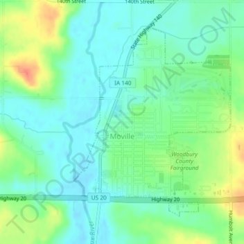
Name: Moville topographic map, elevation, terrain.
Location: Moville, Woodbury County, Iowa, United States of America (42.47998 -96.07973 42.50080 -96.05617)
Average elevation: 361 m
Minimum elevation: 346 m
Maximum elevation: 391 m