
Grange Vernet topographic map
Interactive map
Click on the map to display elevation.
About this map
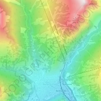
Name: Grange Vernet topographic map, elevation, terrain.
Location: Grange Vernet, TO, Piemont, 10052, Italy (45.07167 6.68375 45.11167 6.72375)
Average elevation: 1,669 m
Minimum elevation: 1,239 m
Maximum elevation: 2,443 m