
Morristown topographic map
Interactive map
Click on the map to display elevation.
About this map
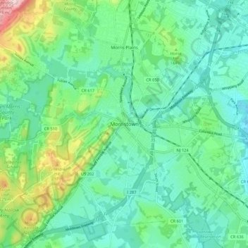
Name: Morristown topographic map, elevation, terrain.
Location: Morristown, Morris County, New Jersey, 07960, United States (40.75704 -74.52099 40.83704 -74.44099)
Average elevation: 123 m
Minimum elevation: 60 m
Maximum elevation: 316 m