
Blackwater and Hawley topographic map
Interactive map
Click on the map to display elevation.
About this map
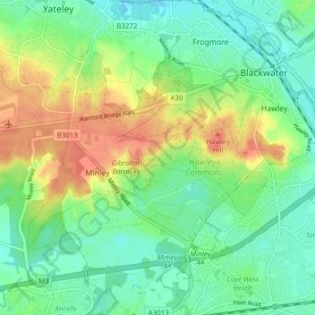
Name: Blackwater and Hawley topographic map, elevation, terrain.
Average elevation: 75 m
Minimum elevation: 55 m
Maximum elevation: 107 m
Other topographic maps
Click on a map to view its topography, its elevation and its terrain.
Hart
United Kingdom > England > Hart
Hart, Hampshire, South East, England, United Kingdom
Average elevation: 90 m