
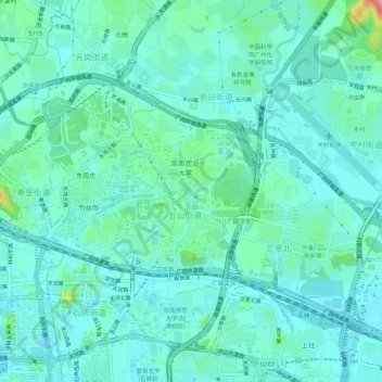
五山街道 topographic map
Interactive map
Click on the map to display elevation.
About this map
Name: 五山街道 topographic map, elevation, terrain.
Location: 五山街道, Tianhe District, Guangzhou City, Guangdong, China (23.14363 113.32158 23.17242 113.37621)
Average elevation: 26 m
Minimum elevation: -2 m
Maximum elevation: 152 m