

Jvari topographic map
Click on the map to display elevation.
Jvari
Jvari (Georgian: ჯვარი) is a town in the northwestern Georgian province of Samegrelo-Zemo Svaneti. The town is situated at an altitude of 280 metres near the Magana River where it flows into the Enguri River; The town is divided in two with "Jvari" lying on the Zugdidi-Mestia highway, and Jvarzeni (Upper Jvari) up the hill.
About this map
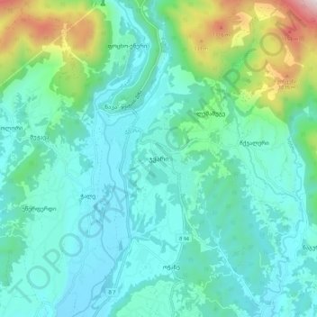
Name: Jvari topographic map, elevation, terrain.
Average elevation: 450 m
Minimum elevation: 222 m
Maximum elevation: 1,410 m
Other topographic maps
Click on a map to view its topography, its elevation and its terrain.

