Geolocate

Astenet topographic map

Click on the map to display elevation.

About this map
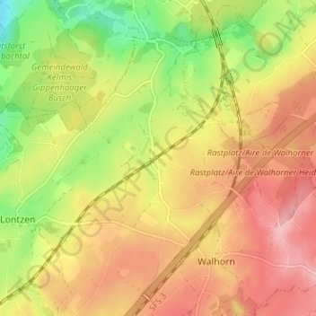
Name: Astenet topographic map, elevation, terrain.

Location: Astenet, Lontzen, Verviers, Liège, Wallonia, 4711, Belgium (50.66819 6.01530 50.70819 6.05530)

Average elevation: 253 m

Minimum elevation: 174 m

Maximum elevation: 317 m

Gear up for your next adventure:

📻Emergency Crank Radios - Stay informed in remote areas without power
⌚Solar Multisport Watches - Advanced mapping and GPS tracking for endurance hikers
💧Portable Water Filters - Safe drinking water from streams and lakes
🧿Outdoor Gadgets - Innovative tools for outdoor enthusiasts
🧥Waterproof Hiking Jackets - Rain jackets for unpredictable weather

As an Amazon Associate, this site earns from qualifying purchases at no extra cost to you.