
Russell Township topographic map
Interactive map
Click on the map to display elevation.
About this map
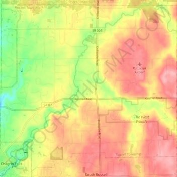
Name: Russell Township topographic map, elevation, terrain.
Location: Russell Township, Geauga County, Ohio, Stati Uniti d'America (41.43270 -81.39152 41.50054 -81.29711)
Average elevation: 334 m
Minimum elevation: 265 m
Maximum elevation: 382 m