
Tuscaloosa County topographic map
Interactive map
Click on the map to display elevation.
About this map
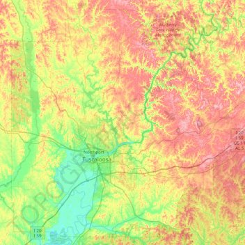
Name: Tuscaloosa County topographic map, elevation, terrain.
Location: Tuscaloosa County, Alabama, Verenigde Staten van Amerika (33.00335 -87.84035 33.61023 -87.06571)
Average elevation: 115 m
Minimum elevation: 29 m
Maximum elevation: 235 m