
Watergrasshill topographic map
Interactive map
Click on the map to display elevation.
About this map
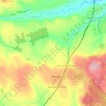
Name: Watergrasshill topographic map, elevation, terrain.
Location: Watergrasshill, Cork, County Cork, Munster, Ireland (51.99740 -8.40046 52.05715 -8.28462)
Average elevation: 141 m
Minimum elevation: 50 m
Maximum elevation: 246 m
Ireland trails, hiking, mountain biking, running and outdoor activities