
Wangwang topographic map
Interactive map
Click on the map to display elevation.
About this map
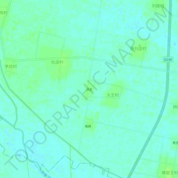
Name: Wangwang topographic map, elevation, terrain.
Location: Wangwang, Xiangfu District, Kaifeng City, Henan, China (34.59239 114.15996 34.63239 114.19996)
Average elevation: 74 m
Minimum elevation: 70 m
Maximum elevation: 79 m