
La Bretagne topographic map
Interactive map
Click on the map to display elevation.
About this map
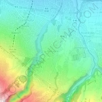
Name: La Bretagne topographic map, elevation, terrain.
Location: La Bretagne, Saint-Denis, La Réunion, 97492, France (-20.93707 55.47425 -20.89707 55.51425)
Average elevation: 203 m
Minimum elevation: 35 m
Maximum elevation: 649 m