
Galegos topographic map
Interactive map
Click on the map to display elevation.
About this map
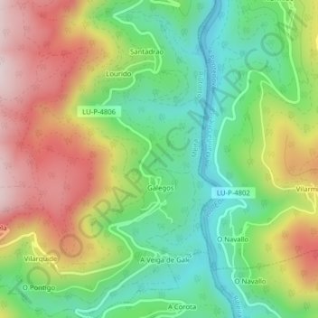
Name: Galegos topographic map, elevation, terrain.
Location: Galegos, Riotorto, Meira, Lugo, Galicia, España (43.25195 -7.23412 43.28051 -7.20352)
Average elevation: 355 m
Minimum elevation: 151 m
Maximum elevation: 636 m
Other topographic maps
Click on a map to view its topography, its elevation and its terrain.