
Tingambato topographic map
Interactive map
Click on the map to display elevation.
About this map
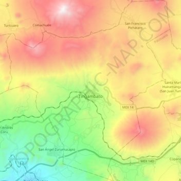
Name: Tingambato topographic map, elevation, terrain.
Location: Tingambato, Michoacán de Ocampo, México (19.41693 -101.94248 19.59602 -101.77009)
Average elevation: 2,231 m
Minimum elevation: 1,334 m
Maximum elevation: 3,306 m