
晋城村 topographic map
Interactive map
Click on the map to display elevation.
About this map
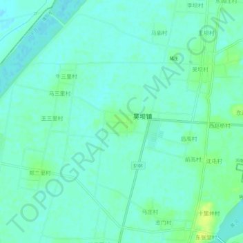
Name: 晋城村 topographic map, elevation, terrain.
Location: 晋城村, 濮阳市, 河南省, 中国 (36.04364 116.02631 36.08364 116.06631)
Average elevation: 43 m
Minimum elevation: 38 m
Maximum elevation: 53 m
Other topographic maps
Click on a map to view its topography, its elevation and its terrain.