
Fossa topographic map
Interactive map
Click on the map to display elevation.
About this map
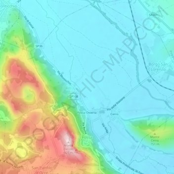
Name: Fossa topographic map, elevation, terrain.
Location: Fossa, AQ, Abruzzo, 6720, Italy (42.28512 13.47194 42.32166 13.51883)
Average elevation: 649 m
Minimum elevation: 560 m
Maximum elevation: 931 m