
Thank you for supporting this site ❤️
Make a donation
Make a donation
Gear up for your next adventure:
As an Amazon Associate, this site earns from qualifying purchases at no extra cost to you.
Githurai topographic map
Click on the map to display elevation.
Thank you for supporting this site ❤️
Make a donation
Make a donation
Gear up for your next adventure:
As an Amazon Associate, this site earns from qualifying purchases at no extra cost to you.
About this map
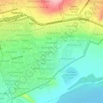
Name: Githurai topographic map, elevation, terrain.
Location: Githurai, Nakuru East, Nakuru, Rift Valley, 20100, Kenya (-0.31535 36.06464 -0.27535 36.10464)
Average elevation: 1,814 m
Minimum elevation: 1,755 m
Maximum elevation: 1,930 m
Thank you for supporting this site ❤️
Make a donation
Make a donation
Gear up for your next adventure:
As an Amazon Associate, this site earns from qualifying purchases at no extra cost to you.