
Los Ocotes topographic map
Interactive map
Click on the map to display elevation.
About this map
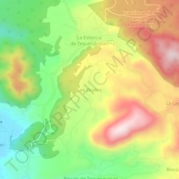
Name: Los Ocotes topographic map, elevation, terrain.
Location: Los Ocotes, Temascaltepec, 51345, Mexico (19.06211 -99.95030 19.10211 -99.91030)
Average elevation: 2,542 m
Minimum elevation: 2,290 m
Maximum elevation: 2,823 m