
Fochteloo topographic map
Interactive map
Click on the map to display elevation.
About this map
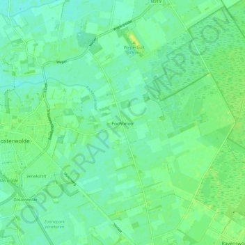
Name: Fochteloo topographic map, elevation, terrain.
Location: Fochteloo, Ooststellingwerf, Friesland, Nederland (52.96410 6.31873 53.02295 6.40269)
Average elevation: 8 m
Minimum elevation: 2 m
Maximum elevation: 17 m