
Thank you for supporting this site ❤️
Make a donation
Make a donation
Gear up for your next adventure:
As an Amazon Associate, this site earns from qualifying purchases at no extra cost to you.
Olds topographic map
Click on the map to display elevation.
Thank you for supporting this site ❤️
Make a donation
Make a donation
Gear up for your next adventure:
As an Amazon Associate, this site earns from qualifying purchases at no extra cost to you.
About this map
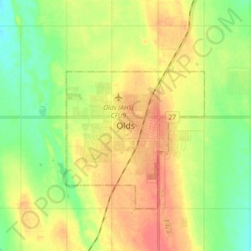
Name: Olds topographic map, elevation, terrain.
Location: Olds, Town of Olds, Alberta, T4H 1H7, Canada (51.75237 -114.15304 51.83237 -114.07304)
Average elevation: 1,027 m
Minimum elevation: 1,003 m
Maximum elevation: 1,052 m
Thank you for supporting this site ❤️
Make a donation
Make a donation
Gear up for your next adventure:
As an Amazon Associate, this site earns from qualifying purchases at no extra cost to you.