
Fisher Island topographic map
Interactive map
Click on the map to display elevation.
About this map
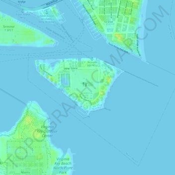
Name: Fisher Island topographic map, elevation, terrain.
Location: Fisher Island, Miami-Dade County, Florida, 33109, USA (25.75511 -80.14909 25.76454 -80.12794)
Average elevation: 3 m
Minimum elevation: -5 m
Maximum elevation: 18 m