
Vallocchia topographic map
Interactive map
Click on the map to display elevation.
About this map
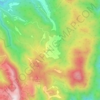
Name: Vallocchia topographic map, elevation, terrain.
Location: Vallocchia, Spoleto, Perugia, Umbria, 06049, Italia (42.69854 12.76970 42.73854 12.80970)
Average elevation: 798 m
Minimum elevation: 473 m
Maximum elevation: 1,147 m
Other topographic maps
Click on a map to view its topography, its elevation and its terrain.