
Chyulu Hills topographic map
Interactive map
Click on the map to display elevation.
About this map
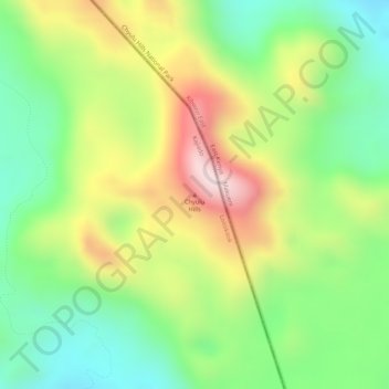
Name: Chyulu Hills topographic map, elevation, terrain.
Location: Chyulu Hills, Kajiado County, Kenya (-2.68258 37.89303 -2.68248 37.89313)
Average elevation: 1,920 m
Minimum elevation: 1,732 m
Maximum elevation: 2,157 m
Other topographic maps
Click on a map to view its topography, its elevation and its terrain.