
LPRC topographic map
Interactive map
Click on the map to display elevation.
About this map
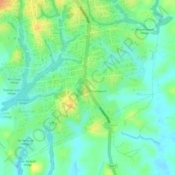
Name: LPRC topographic map, elevation, terrain.
Location: LPRC, Zone 6, Garr-Bain, Nimba County, Liberia (7.18872 -8.99011 7.21243 -8.96240)
Average elevation: 267 m
Minimum elevation: 252 m
Maximum elevation: 290 m