
ვარკეთილი topographic map
Interactive map
Click on the map to display elevation.
About this map
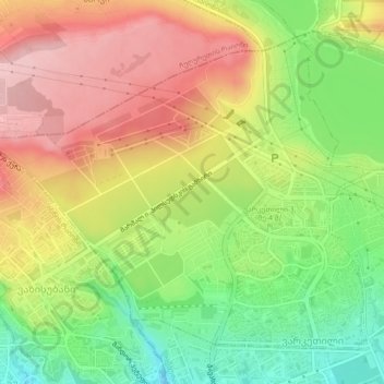
Name: ვარკეთილი topographic map, elevation, terrain.
Location: ვარკეთილი, Isani-Samgori Raion, Tbilisi, Georgia (41.69798 44.84225 41.72615 44.88833)
Average elevation: 563 m
Minimum elevation: 473 m
Maximum elevation: 650 m