
Ocotillo topographic map
Interactive map
Click on the map to display elevation.
About this map
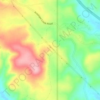
Name: Ocotillo topographic map, elevation, terrain.
Location: Ocotillo, Yavapai County, Arizona, 86333, United States (34.35364 -112.21183 34.37364 -112.19183)
Average elevation: 1,311 m
Minimum elevation: 1,236 m
Maximum elevation: 1,396 m
Other topographic maps
Click on a map to view its topography, its elevation and its terrain.
Sedona
United States > Arizona > Yavapai County
Sedona, Yavapai County, Arizona, 86336, United States
Average elevation: 1,342 m