
Lake Bernard Frank topographic map
Interactive map
Click on the map to display elevation.
About this map
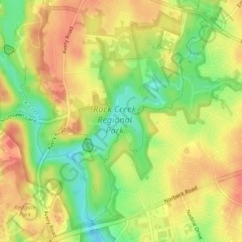
Name: Lake Bernard Frank topographic map, elevation, terrain.
Average elevation: 114 m
Minimum elevation: 82 m
Maximum elevation: 136 m
Other topographic maps
Click on a map to view its topography, its elevation and its terrain.
Rockville
United States > Maryland > Montgomery County
Rockville, Montgomery County, Maryland, United States
Average elevation: 122 m
Silver Spring
United States > Maryland > Montgomery County > Silver Spring
Silver Spring, Montgomery County, Maryland, United States
Average elevation: 86 m