
Rattlesnake Lake topographic map
Interactive map
Click on the map to display elevation.
About this map
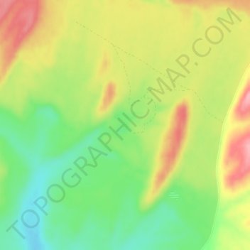
Name: Rattlesnake Lake topographic map, elevation, terrain.
Location: Rattlesnake Lake, Adams County, Washington, United States (46.83078 -118.28224 46.83241 -118.28058)
Average elevation: 468 m
Minimum elevation: 411 m
Maximum elevation: 531 m