
Millport topographic map
Interactive map
Click on the map to display elevation.
About this map
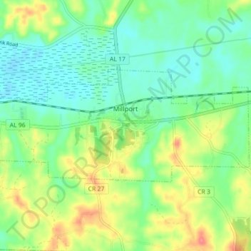
Name: Millport topographic map, elevation, terrain.
Location: Millport, Lamar County, Alabama, United States (33.54629 -88.11704 33.57260 -88.04660)
Average elevation: 94 m
Minimum elevation: 70 m
Maximum elevation: 138 m