
Vittasandra topographic map
Interactive map
Click on the map to display elevation.
About this map
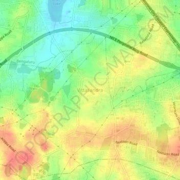
Name: Vittasandra topographic map, elevation, terrain.
Location: Vittasandra, Bangalore Urban, Karnataka, 560 100, India (12.83339 77.61835 12.87339 77.65835)
Average elevation: 921 m
Minimum elevation: 893 m
Maximum elevation: 947 m