
Benglen topographic map
Interactive map
Click on the map to display elevation.
About this map
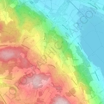
Name: Benglen topographic map, elevation, terrain.
Location: Benglen, Fällanden, Bezirk Uster, Zurich, 8121, Switzerland (47.33968 8.61621 47.37968 8.65621)
Average elevation: 555 m
Minimum elevation: 431 m
Maximum elevation: 709 m