
Ojochal topographic map
Interactive map
Click on the map to display elevation.
About this map
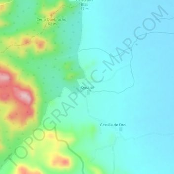
Name: Ojochal topographic map, elevation, terrain.
Location: Ojochal, Cantón Carrillo, Provincia Guanacaste, Costa Rica (10.42881 -85.62490 10.46881 -85.58490)
Average elevation: 71 m
Minimum elevation: 16 m
Maximum elevation: 261 m