
Tres Ríos topographic map
Interactive map
Click on the map to display elevation.
About this map
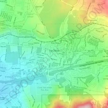
Name: Tres Ríos topographic map, elevation, terrain.
Average elevation: 1,359 m
Minimum elevation: 1,267 m
Maximum elevation: 1,529 m
According to the 2011 census, Tres Ríos had a population of 9,331 inhabitants. The district has an area of 2.19 km2 and an elevation of 1,345 metres.