
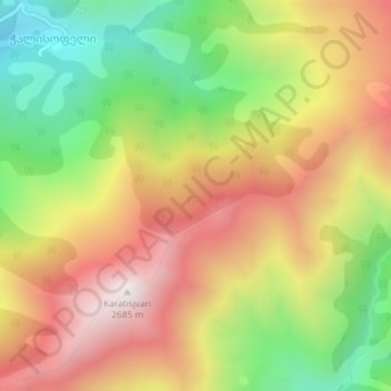
Caucasus Mountains topographic map
Interactive map
Click on the map to display elevation.
About this map
Name: Caucasus Mountains topographic map, elevation, terrain.
Average elevation: 2,188 m
Minimum elevation: 1,678 m
Maximum elevation: 2,683 m
Other topographic maps
Click on a map to view its topography, its elevation and its terrain.
Tsdo
Georgia > Mtskheta-Mtianeti > Kazbegi Municipality
Tsdo, Kazbegi Municipality, Mtskheta-Mtianeti, 4700, Georgia
Average elevation: 1,946 m
Mna
Georgia > Mtskheta-Mtianeti > Kazbegi Municipality
Mna, Kazbegi Municipality, Mtskheta-Mtianeti, Georgia
Average elevation: 2,826 m
Kazbegi Municipality
Kazbegi Municipality, Mtskheta-Mtianeti, Georgia
Average elevation: 2,528 m