
Pine Park topographic map
Interactive map
Click on the map to display elevation.
About this map
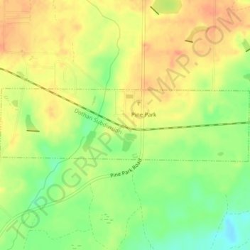
Name: Pine Park topographic map, elevation, terrain.
Location: Pine Park, Grady County, Georgia, United States (30.84524 -84.12352 30.85470 -84.08591)
Average elevation: 62 m
Minimum elevation: 36 m
Maximum elevation: 80 m