
Marlfield topographic map
Interactive map
Click on the map to display elevation.
About this map
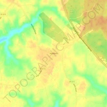
Name: Marlfield topographic map, elevation, terrain.
Location: Marlfield, Gloucester County, Virginia, USA (37.42736 -76.62968 37.46736 -76.58968)
Average elevation: 25 m
Minimum elevation: 3 m
Maximum elevation: 34 m