
Timoleague topographic map
Interactive map
Click on the map to display elevation.
About this map
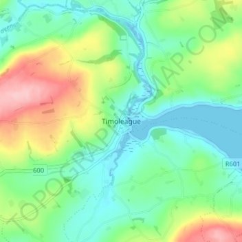
Name: Timoleague topographic map, elevation, terrain.
Location: Timoleague, County Cork, Munster, P72DX23, Ireland (51.62409 -8.78546 51.66409 -8.74546)
Average elevation: 46 m
Minimum elevation: -1 m
Maximum elevation: 145 m